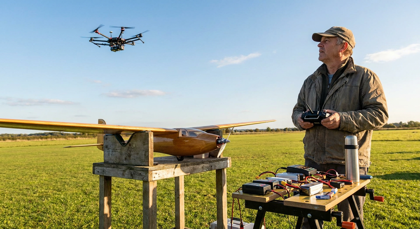
You are thirty seconds into a battery pack on a two-metre balsa glider, thermalling gently at about 280 feet above the tree line. Out of nowhere comes a steady, mechanical thrum that does not sound like a two-stroke glow engine or a standard 4S brushless motor. A commercial delivery hexacopter cuts straight across the eastern edge of your field, tracking an invisible GPS corridor at 60 miles per hour, dead level at 250 feet. It is gone behind the treeline in fifteen seconds, but it leaves everyone on the flight line staring up with their transmitters resting against their chests.
Two years ago, this was something you only read about in tech newsletters or FAA white papers. Today, automated package delivery under FAA Part 135 and expanding test corridors under the upcoming Part 108 framework are putting commercial drones right into the sub-400ft band where recreational flyers have spent the last sixty years.
For weekend builders, park flyers, and slope soarers, this changes how we use our local airspace. The sky below 400 feet is no longer empty turf where the only thing you had to watch for was the occasional low-flying crop duster or a police helicopter. Automated aircraft are flying programmed routes through suburban fringes, rural pockets, and edge-of-town parks. Knowing how these systems operate, what the rules say, and what gear helps you stay clear makes the difference between an enjoyable Saturday and a messy safety report.
Who Yields to Whom Under Current Airspace Rules?
If you ask five guys at your local club who has right of way when an automated delivery drone crosses an RC field, you will probably get three different answers. The confusion comes from how the Federal Aviation Administration splits operations between recreational flyers, commercial Part 107 pilots, and certified Part 135 air carriers.
Under Section 44809 (the Exception for Limited Recreational Operations), hobbyists are legally required to give way to all crewed aircraft. If a Cessna 172 or a medical helicopter comes through at 500 feet, you drop your plane immediately. That part has always been simple. But the rules get murky when both aircraft are uncrewed.
Commercial delivery operations currently fly under FAA Part 135 air carrier certificates or specific Beyond Visual Line of Sight (BVLOS) waivers. Under the standard flight rules, an aircraft operating BVLOS must have an approved Detect and Avoid (DAA) system. The regulatory expectation built into upcoming Part 108 rules is that automated commercial drones must be able to detect non-participating traffic and yield right of way.
That sounds great on paper. You might think it means the big delivery rig with its radar and optical cameras will simply dodge your foam wing.
In the real world, relying on an automated delivery drone to steer around your 400g park flyer is a terrible bet. An autonomous flight controller following a hard-coded waypoint line might take three to five seconds to register a non-transponding target, calculate an avoidance vector, and execute a lateral deviation. If your sport plane is closing at 50 mph while the delivery drone is cruising at 60 mph, those five seconds eat up over 700 feet of separation.
Legal technicalities do not fix broken balsa. Regardless of what the rulebook says about commercial DAA obligations, the golden rule on the flight line remains unchanged: if you see a delivery drone entering your field boundary, step down your altitude, steer clear, and give it room to pass. Treat it like a full-scale aircraft.
How Commercial Delivery Fleets Actually Fly
To share the air safely, you have to understand the flight profile of the machines you are sharing it with. Delivery drones do not fly like hobby drones or freestyle quads.
First, they fly straight lines. A delivery aircraft running from a regional distribution hub to a customer backyard is designed for pure transport efficiency. It launches, climbs out on a fixed departure gradient to its assigned transit altitude (usually between 200 and 350 feet Above Ground Level), and flies direct GPS waypoints. It does not circle, bank aggressively, or loiter unless it reaches a delivery drop point or encounters an active safety abort.
Second, they are moving much faster than they look. Fixed-wing and tilt-rotor delivery platforms often cruise at 55 to 70 mph. Heavy-lift multicopters travel slightly slower, around 40 to 50 mph, but carry immense momentum.
Third, their sensor suites are tuned for specific threats. Most commercial BVLOS airframes use a combination of ADS-B In receivers (to catch crewed airplanes), onboard acoustic arrays, computer vision cameras, and small millimetre-wave radar units. These sensors are fantastic at spotting a white Cessna against a blue sky at two miles. They are significantly worse at spotting a grey EPP foam flying wing with a 30-inch wingspan flying flat-out across a cluttered tree canopy.
Because of that sensor limitation, delivery routes are planned using pre-surveyed digital maps. Operators map terrain, tall towers, and known no-fly zones. But unless your flying field is a formal FAA-Recognized Identification Area (FRIA) with mapped geographic boundaries in the FAA database, the automated routing engine does not know your club patch is there. To the delivery software, your flying field is just another stretch of open green space.
The Spotter's Job Has Changed
At most clubs, having a spotter used to mean having a buddy stand next to you on the flight line, drinking coffee and listening for the low rumble of a Lycoming engine from two miles away. That worked because full-scale planes are loud, high up, and relatively easy to spot.
Commercial delivery drones flip all three of those factors:
- They are quiet until they are close. Many delivery designs use custom multi-blade props with high blade-count or shrouded fans tuned to reduce ground noise. On a breezy day at a grass field, you often will not hear an incoming delivery rig until it is within 300 metres of the flight line.
- They fly at your exact working height. A thermal glider or sport aerobatic model spends most of its flight between 150 and 350 feet. Delivery corridors sit right in that same pocket.
- They blend into terrain. Because they fly low, you rarely see them silhouetted against a clear sky. You see them skimming the tops of distant tree lines or housing developments.
If you fly at a field that sits near a commercial test corridor, spotter duties have to become active rather than social.
A dedicated spotter needs to scan horizontal bands along known flight paths rather than looking high. Spotters should listen for the distinct, multi-rotor whine or high-frequency propeller hum that stands out from standard hobby gear. When someone spots a transit drone, the callout should be loud, clear, and directional: "Traffic east to west, low at two-fifty."
As soon as that call goes out, pilots on the line should level off, pull back on the throttle, and drop below 150 feet or bring their models closer into the field pattern until the transit is clear. It takes thirty seconds of discipline to prevent an incident that could bring regulators down on the entire club.
Onboard Gear: Remote ID, Strobes, and Radar Signatures
Pilots often ask what they can bolt onto their airframes to make sure commercial traffic spots them in time. Let us look at what works, what does not, and what the hardware actually does.
Remote ID Broadcasts
Every non-exempt recreational pilot flying outside a FRIA is now familiar with Broadcast Remote ID modules like the Spektrum SkyID, Holybro, or various open-source ESP32 beacons. These modules broadcast the plane's location, altitude, and ID over Bluetooth 4, Bluetooth 5 Long Range, or Wi-Fi Direct.
Do delivery drones pick up this data? In most cases right now, no.
Commercial delivery aircraft generally do not carry onboard Remote ID receivers that feed live avoidance algorithms in flight. Instead, commercial fleets rely on ground-based Unmanned Traffic Management (UTM) networks or onboard active sensors (radar and cameras). While your broadcast Remote ID satisfies FAA Part 89 rules and lets ground authorities see your model on a phone app, it does not currently act as a mid-air transponder for automated delivery flight controllers.
High-Intensity Anti-Collision Strobes
Strobes are one of the cheapest and most effective upgrades you can put on an RC aircraft. Miniature standalone strobe units from brands like Flytron (Strobon series) or Vifly weigh between 4 and 6 grams, cost under $15, and come with their own tiny single-cell LiPo batteries that run for hours.
These strobes pulse at upwards of 500 to 1,000 lumens. While human eyes pick up flashing white or red lights quickly, computer vision systems on delivery drones pick them up even better. Optical detect-and-avoid cameras scan for rapid frame-to-frame pixel luminance changes. A pulsing strobe makes a small foam plane jump out against a noisy background of trees and houses far better than any paint scheme.
Mounting a white strobe on top of the fuselage and a red or green strobe on the lower wing tips gives both human spotters and autonomous cameras an immediate visual lock.
Radar Cross Section and Materials
Balsa, carbon fibre, and expanded polyolefin (EPO) foam are nearly invisible to lightweight millimetre-wave radar. A standard 1.2-metre foam sport plane has a radar cross section not much larger than a small bird.
Some pilots have experimented with small strips of adhesive conductive foil or radar-reflective tape inside wing cavities. While this can theoretically bounce a stronger radar return, there is little practical evidence that small patches make a meaningful difference to low-power airborne radar units. You are much better off spending your weight budget on high-output optical strobes and keeping your eyes outside the cockpit.
Ground Awareness Tools for Your Flight Bag
You do not need military-grade hardware to know what is flying in your local airspace. A couple of simple, low-cost ground tools can give your club early warning before a commercial drone even enters your visual range.
| Tool | Cost | What It Detects | Practical Range | Best Use at Field |
|---|---|---|---|---|
| Drone Scanner App (Mobile) | Free | Direct Remote ID (Bluetooth 4/5, Wi-Fi) | 200m to 800m | Checking if commercial or hobby drones are broadcasting nearby |
| Flightradar24 / ADS-B Exchange | Free to $3/mo | Full-scale crewed aircraft with ADS-B Out | 10+ miles | Spotting medical choppers and low-flying general aviation |
| Handheld ADS-B Receiver | $50 - $150 | Direct ADS-B 978/1090 MHz broadcasts | 5 to 20 miles | Standalone audio alerts on the bench without mobile cell service |
| Optical Spotting Binoculars (8x42) | $40 - $100 | Visual confirmation of low-altitude traffic | 1 to 2 miles | Spotter station use for wide-boundary scanning |
Running a free app like Drone Scanner on a tablet or phone at your flight station is a great habit. Many commercial delivery operators broadcast Remote ID signals from their distribution points and transit corridors. If an automated route crosses your flying zone, a tablet with Bluetooth 5 Long Range can pick up the broadcast beacon while the delivery unit is still half a mile away, giving everyone on the line plenty of time to clear the pattern.
If you want to log and track how your own aircraft are performing, what gear is installed, and how your telemetry setups behave around busy areas, practical tools like MyRC (myrc.ai) provide a straightforward way to keep your fleet logs and maintenance records organized without overcomplicating things.
Setting Up Your Aircraft Failsafes
When automated delivery routes share your airspace, setting your radio failsafes becomes a critical safety task rather than a quick bench-test checklist item.
Most hobbyists running modern radio systems (like ExpressLRS, EdgeTX, FrSky ACCESS, or Spektrum DSMX) configure failsafes in one of three ways: cut throttle, hold last command, or trigger an automated Return-to-Home (RTH) using a flight controller running ArduPilot or INAV.
If you fly with GPS return-to-home enabled, pay close attention to your programmed RTH climb altitude.
The default RTH altitude on many flight controllers is set out of the box to 50 or 100 metres (roughly 160 to 330 feet). If your plane loses link at 80 feet near the field edge, an automated RTH might command a steep climb directly up to 300 feet to clear imaginary obstacles before heading home. If that 300-foot ceiling sits right inside an active delivery transit corridor, your radio glitch just pushed your uncontrolled model straight into automated traffic.
For traditional club fields surrounded by open flat land, consider setting your RTH altitude lower, around 120 to 150 feet, or configuring a gentle circle-and-descend profile. If a radio link drops, you want the aircraft descending into a known safe perimeter, not rocketing up into the commercial transit band.
For standard line-of-sight sport planes without GPS, always verify that your failsafe cuts the motor completely. A runaway foamie on hold-throttle climbing out trimmed for a gentle bank is a hazard to everything in the county.
Protecting Your Local Club Sky
The expansion of commercial drone delivery is not going away. The FAA Reauthorization Act of 2024 set clear mandates to establish standard BVLOS rules under Part 108, and major logistics operators are testing scaled operations in multiple states.
That does not mean hobby flying is being pushed out. It does mean the days of assuming the sky below 400 feet belongs entirely to RC clubs are over.
Here is what you and your club can do right now:
- Check your FRIA status. If your club field has not applied for or finalized its FAA-Recognized Identification Area status through a recognized community-based organization, get it done. Mapped FRIAs create clear geographic pins that commercial flight planners review when drawing automated delivery grids.
- Establish standard spotter protocol. Put a clear delivery-traffic callout rule into your club field rules. Make sure new members and weekend visitors know what to call out and what to do when low-altitude commercial traffic appears.
- Fly with strobes on dull days. A 5-gram strobe unit mounted on the fuselage takes two minutes to attach and gives both human eyes and automated optical systems a solid visual target.
- Watch local airspace filings. When commercial delivery companies apply for local delivery hubs, they file operational boundaries with local zoning boards and the FAA. Knowing where the delivery hubs are in your county tells you exactly where the low-altitude highways will run.
Keep your eyes moving, keep your failsafes tuned, and enjoy your time on the sticks. Safe flying takes a little more situational awareness than it used to, but good habits on the flight line keep the sky open for everyone.
Sources
- https://www.faa.gov/uas/advanced_operations/package_delivery_drone
- https://www.crowell.com/en/insights/client-alerts/landmark-proposed-rule-may-open-american-skies-to-expanded-commercial-drone-deployments
- https://pilotinstitute.com/part-135-drone-delivery/
- https://www.faa.gov/hazmat/air_carriers/operations/drones
- https://jrupprechtlaw.com/drone-delivery/